Scan, Map, and Measure with Solutions
that Simplify Your Workflows
Discover accessible and intuitive geospatial solutions. Recreate your world in 3D, measure and navigate with pinpoint accuracy, and elevate your aerial perspective with advanced and cost-effective solutions.
that Simplify Your Workflows

Scan, Map, and Measure with Solutions that Simplify Your Workflows
Discover accessible and intuitive geospatial solutions. Recreate your world in 3D, measure and navigate with pinpoint accuracy, and elevate your aerial perspective with advanced and cost-effective solutions.
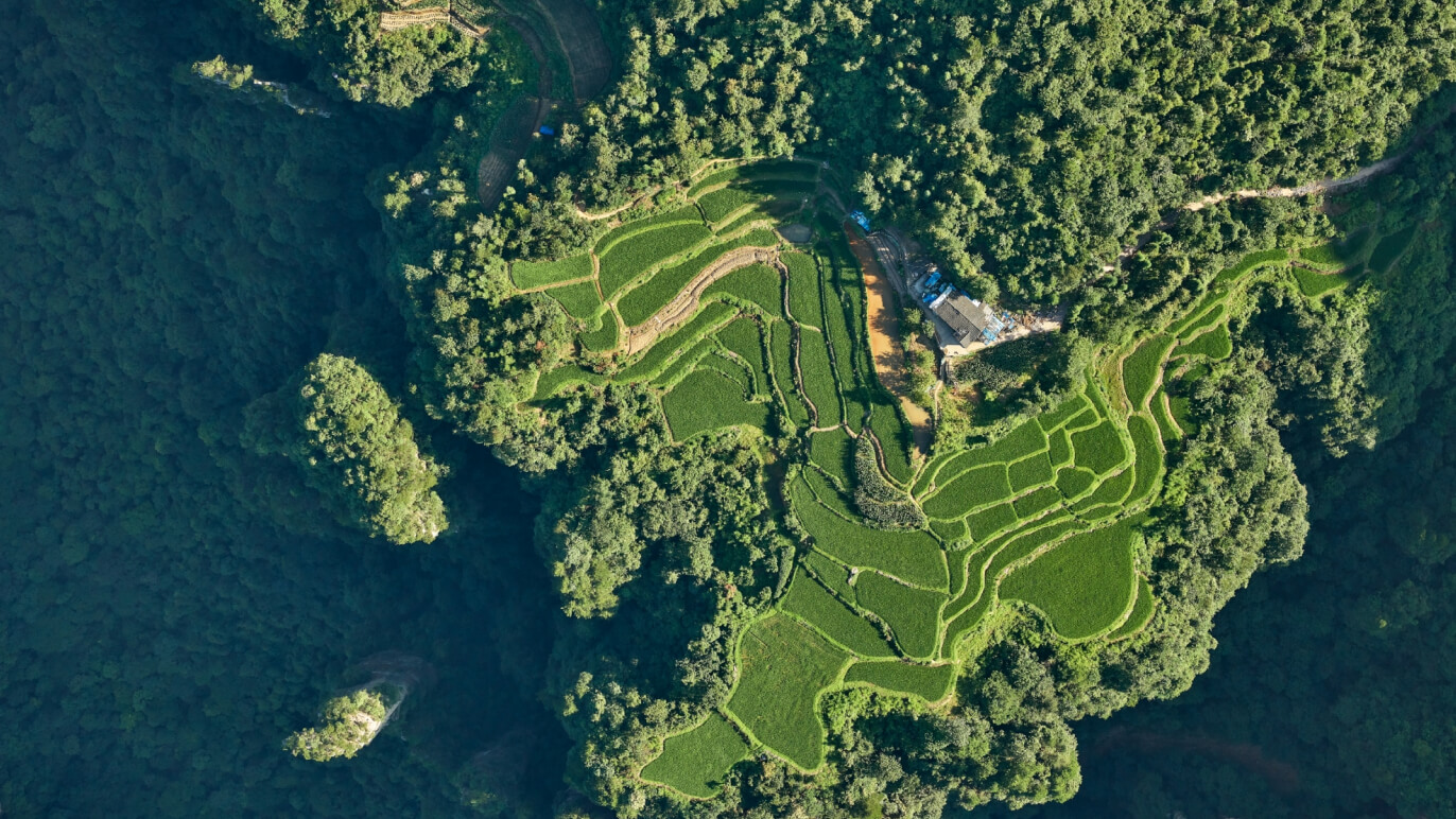
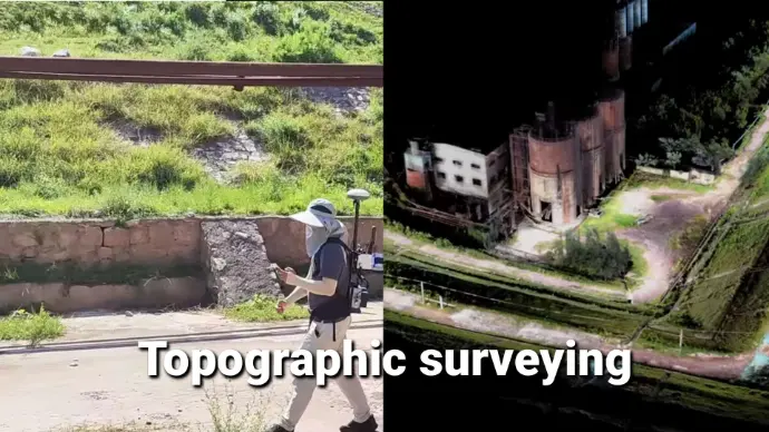
Precision Meets Simplicity from Field to Office
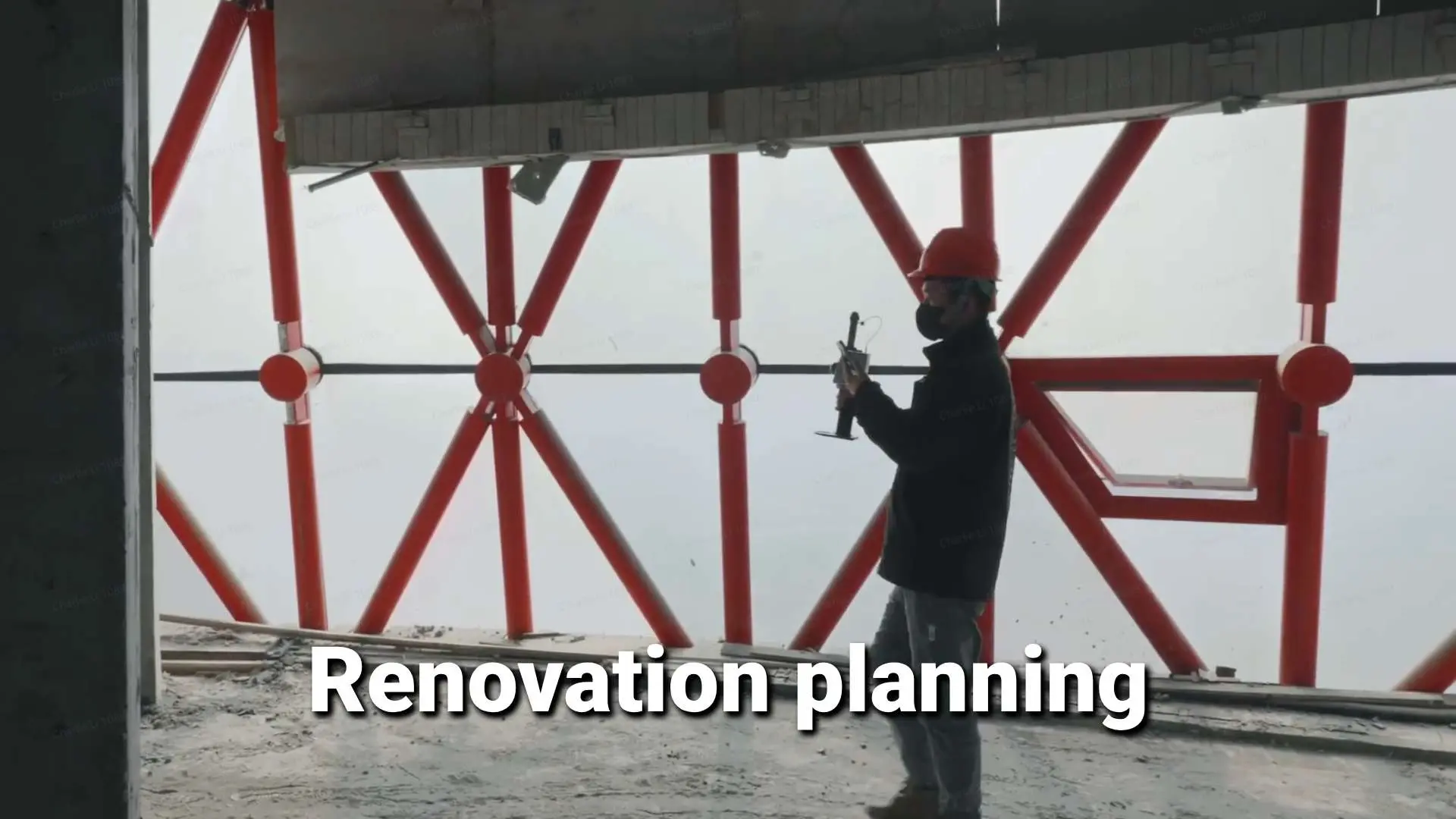
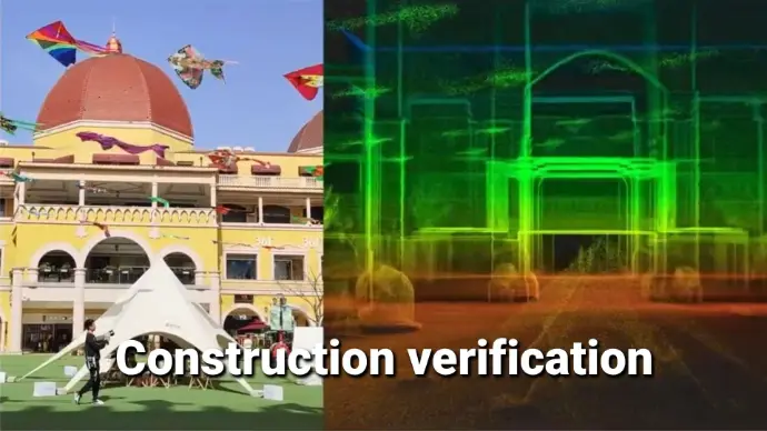
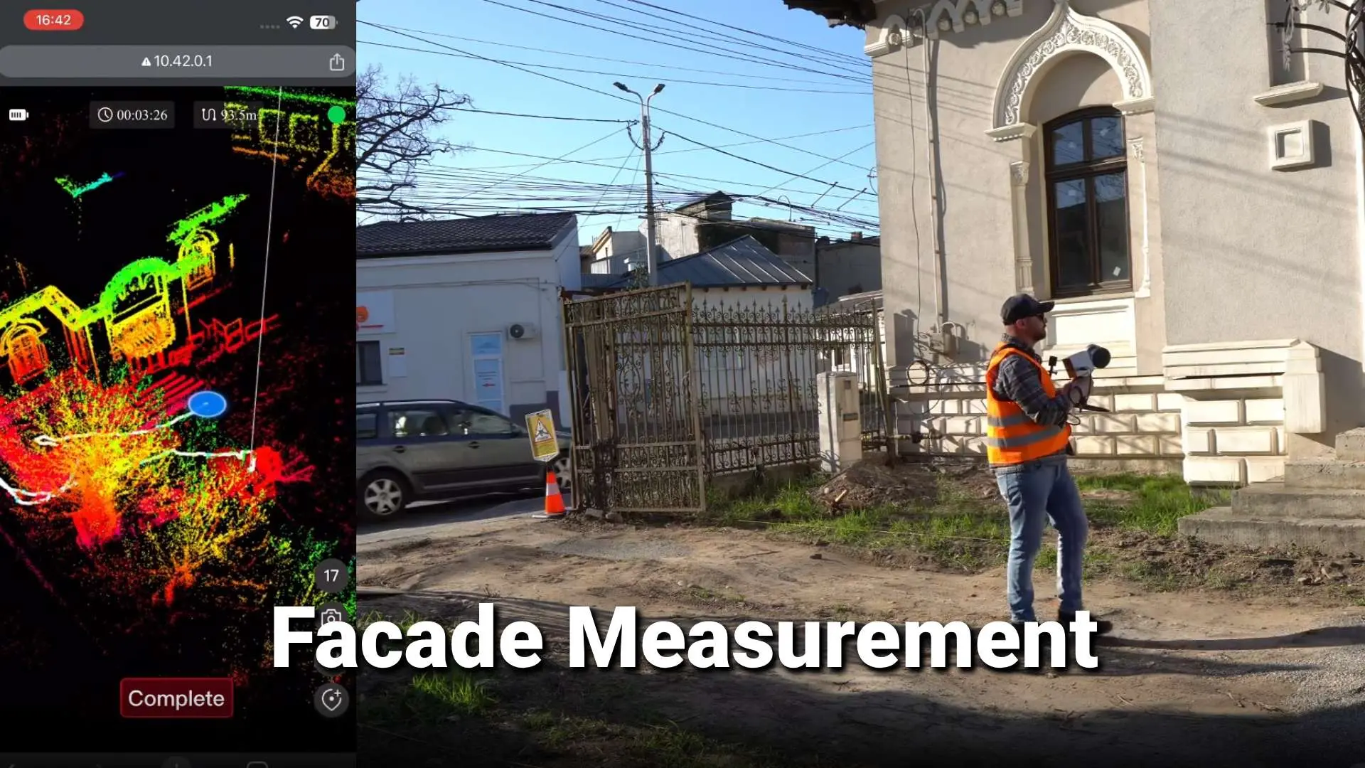
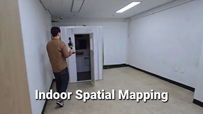
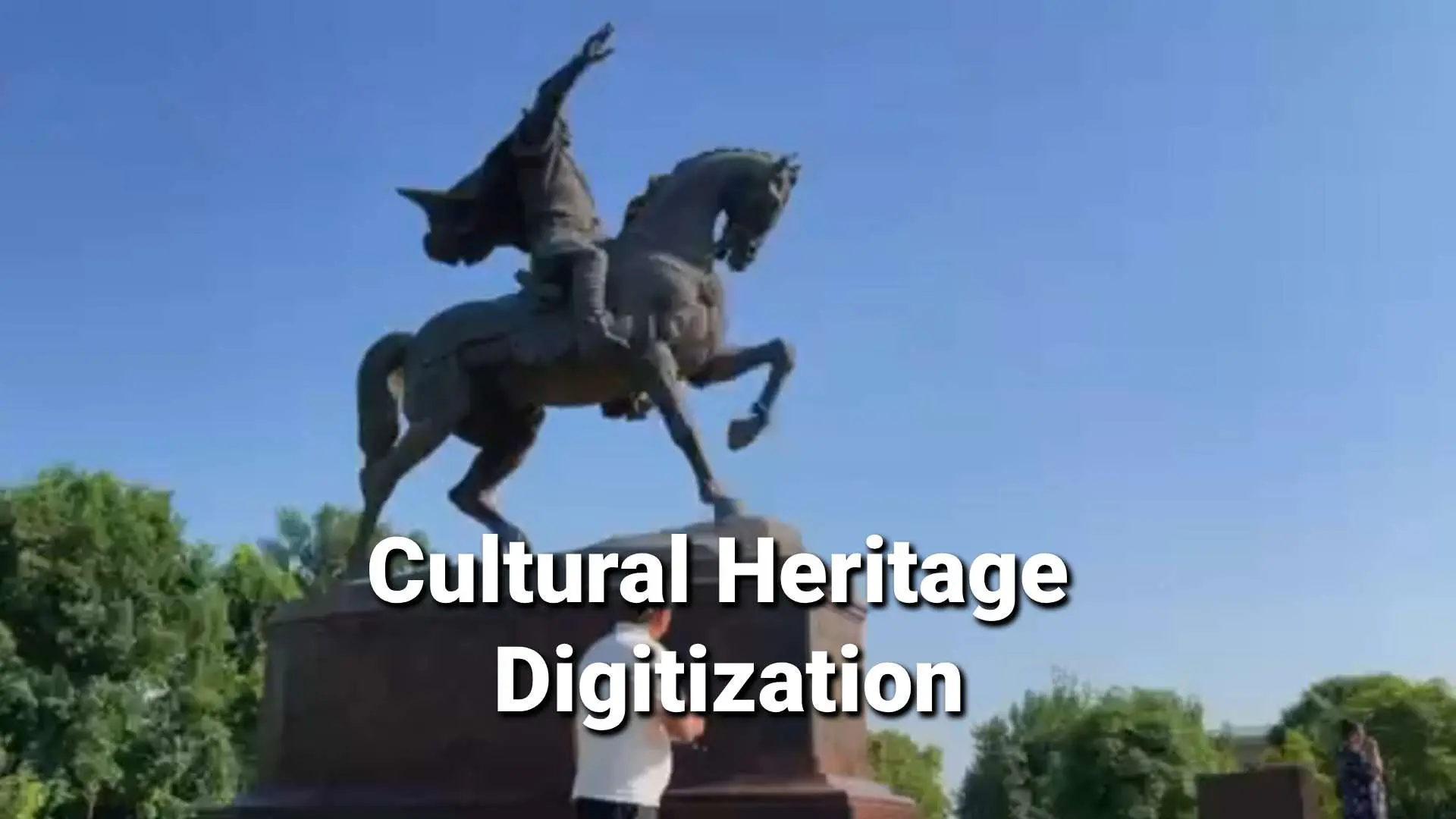
From geodetic surveys, BIM projects, to heritage preservation and urban planning, FJDynamics Geospatial solutions make it easier for you to capture, process, and manage data.
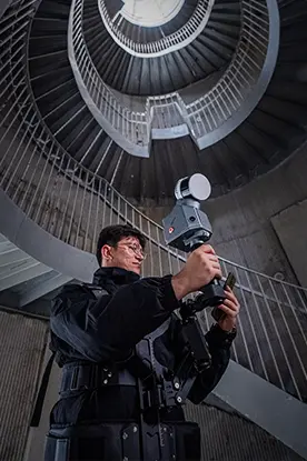

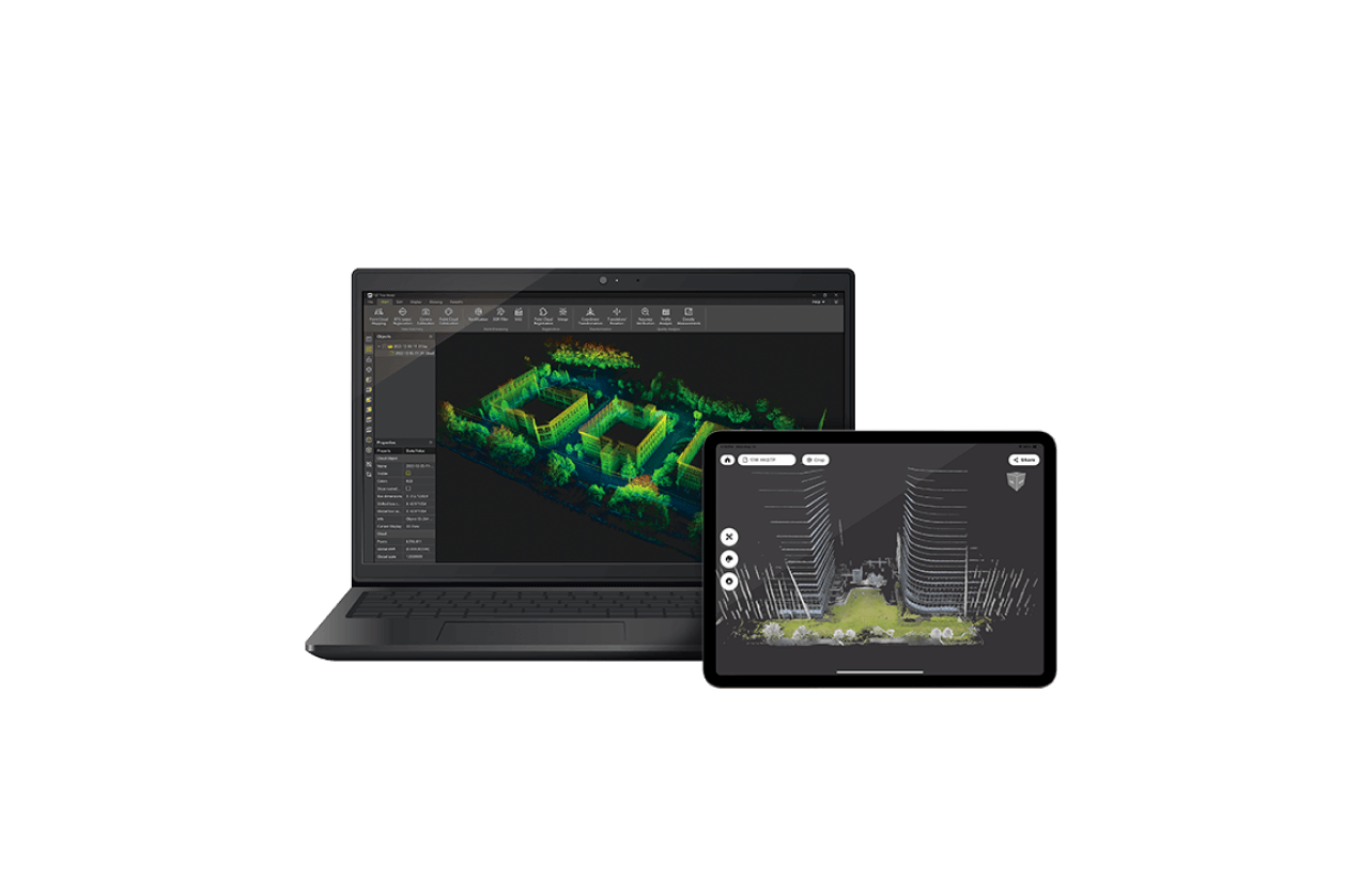
Easy Reality Capture
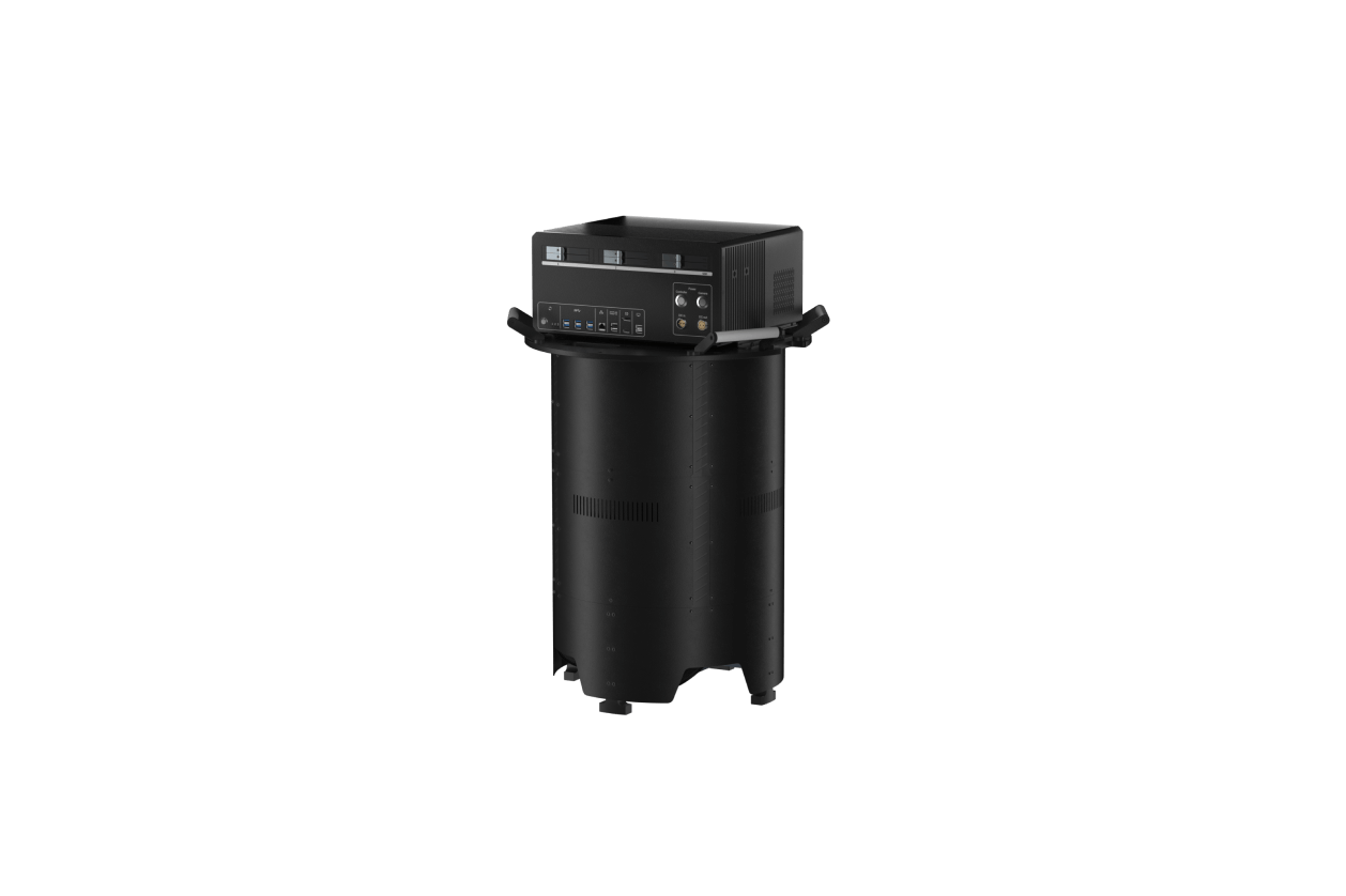
Whether you're a seasoned pro or just starting to explore 3D laser scanning, find solutions that meet your project requirements. Scan any space with powerful and compact LiDAR scanners, and quickly process data with intuitive software.


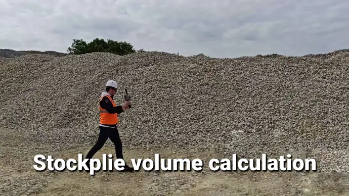
More than Accuracy
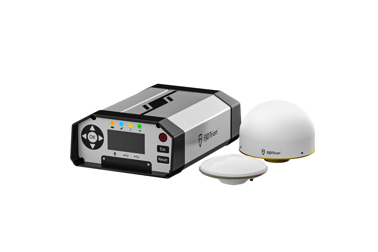
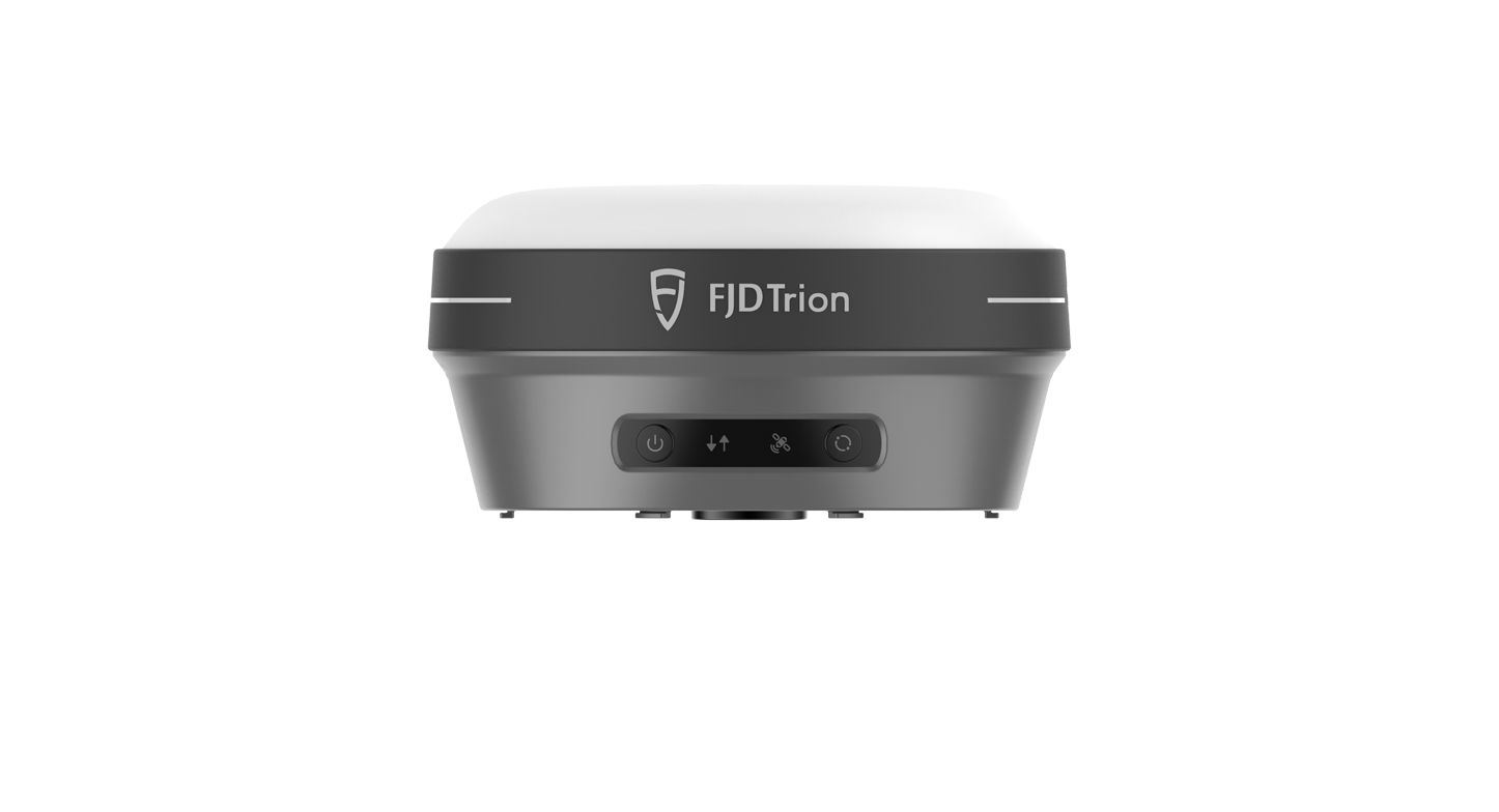
Measure points, contours, and areas with new and improved RTK GNSS systems that go beyond survey-grade precision. Explore products that integrate IMU sensors, cameras and intelligent features to make field work that much easier.

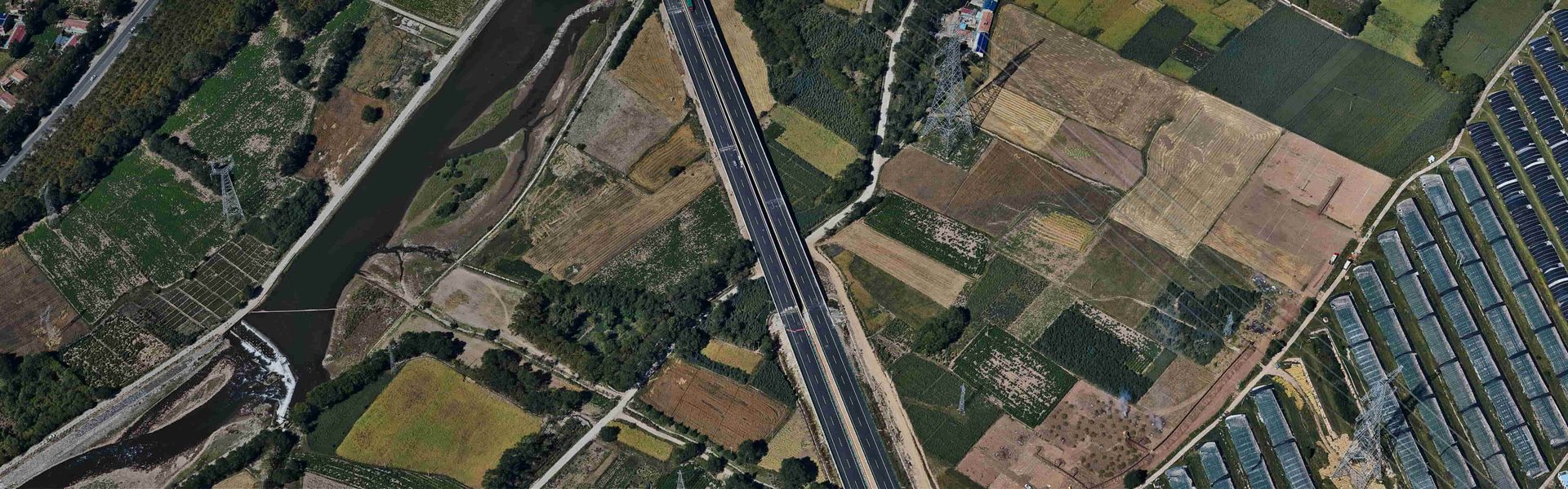
Aerial Mapping Redefined
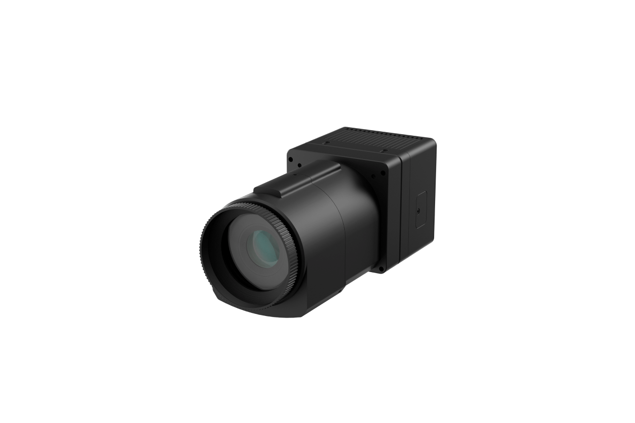
Increase your efficiency in capturing valuable insights by using FJD's aerial mapping systems. Discover the capabilities of our medium format aerial camera and oblique camera array to elevate your missions to the next level.
Products Overview
Enhanced operational efficiency for 3D scanning specialists, architects, surveyors, and institutions utilizing aerial mapping.
- Laser Scanning
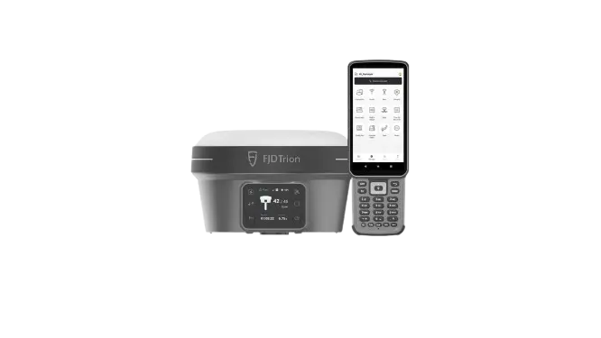
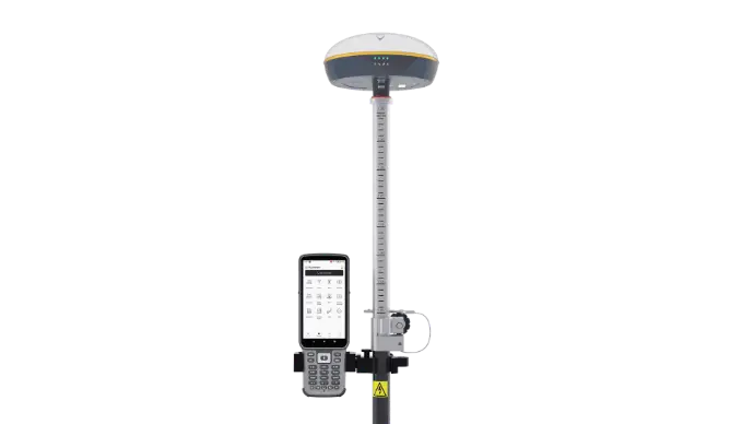
- GNSS Receiver
- Aerial Mapping
- Real-time Display and Post Processing
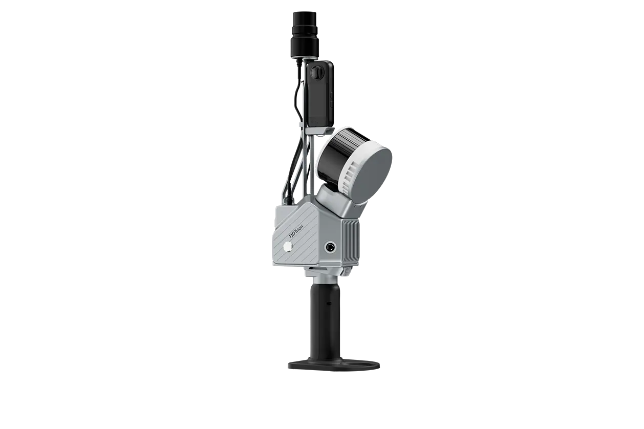
FJD Trion™ S2 series LiDAR Scanner
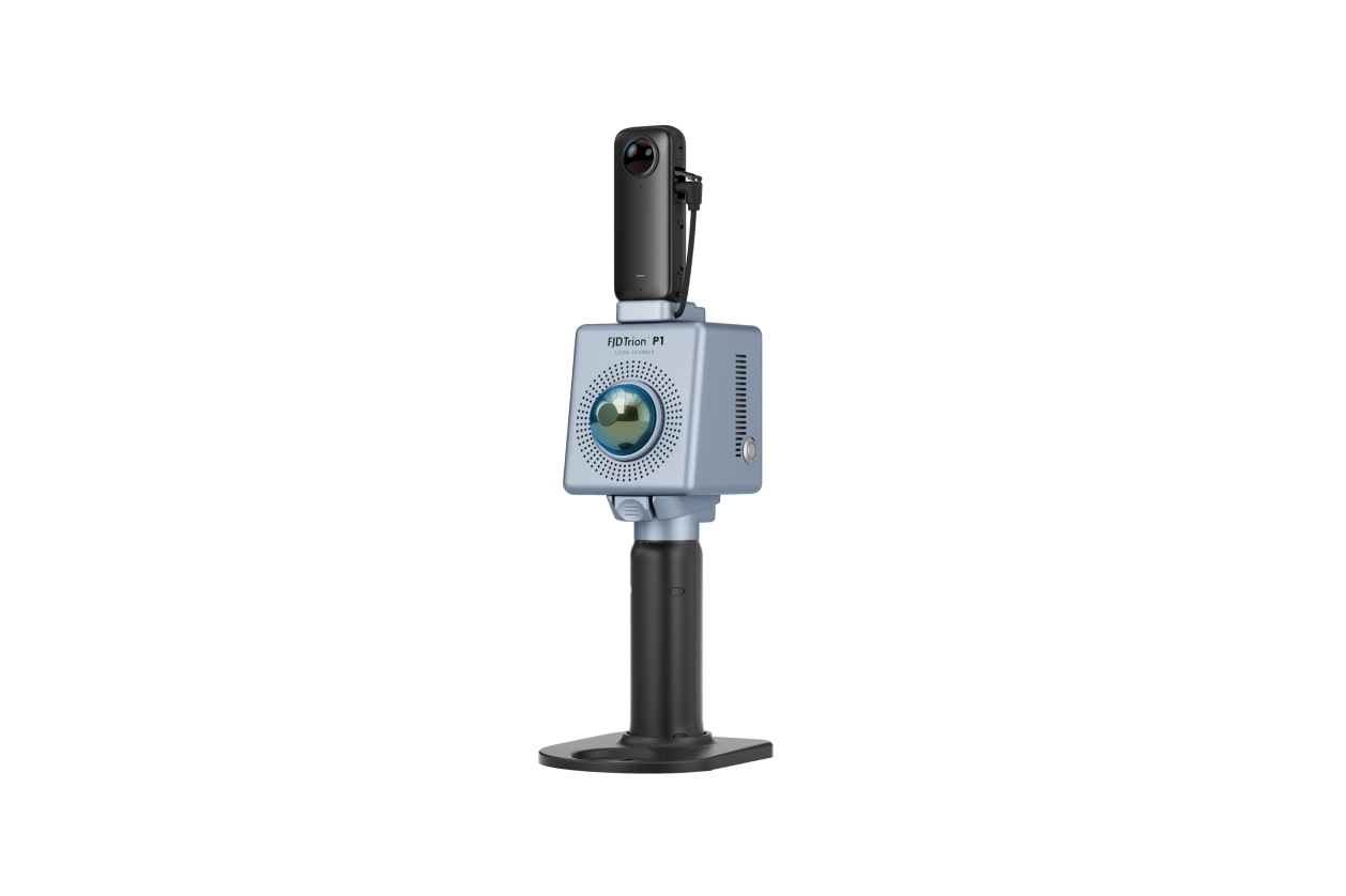
FJD Trion™ P1 LiDAR Scanner
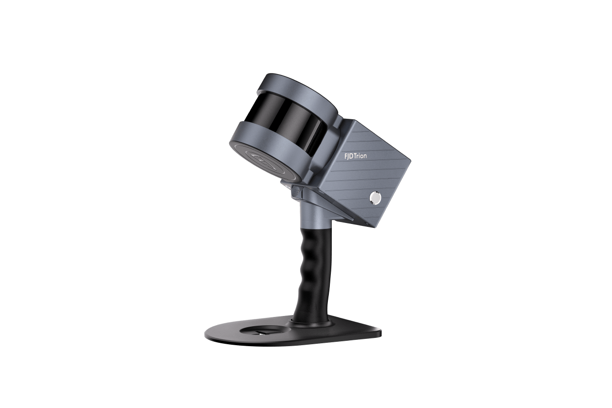
FJD Trion™ S1 3D LiDAR Scanner
Solutions Overview
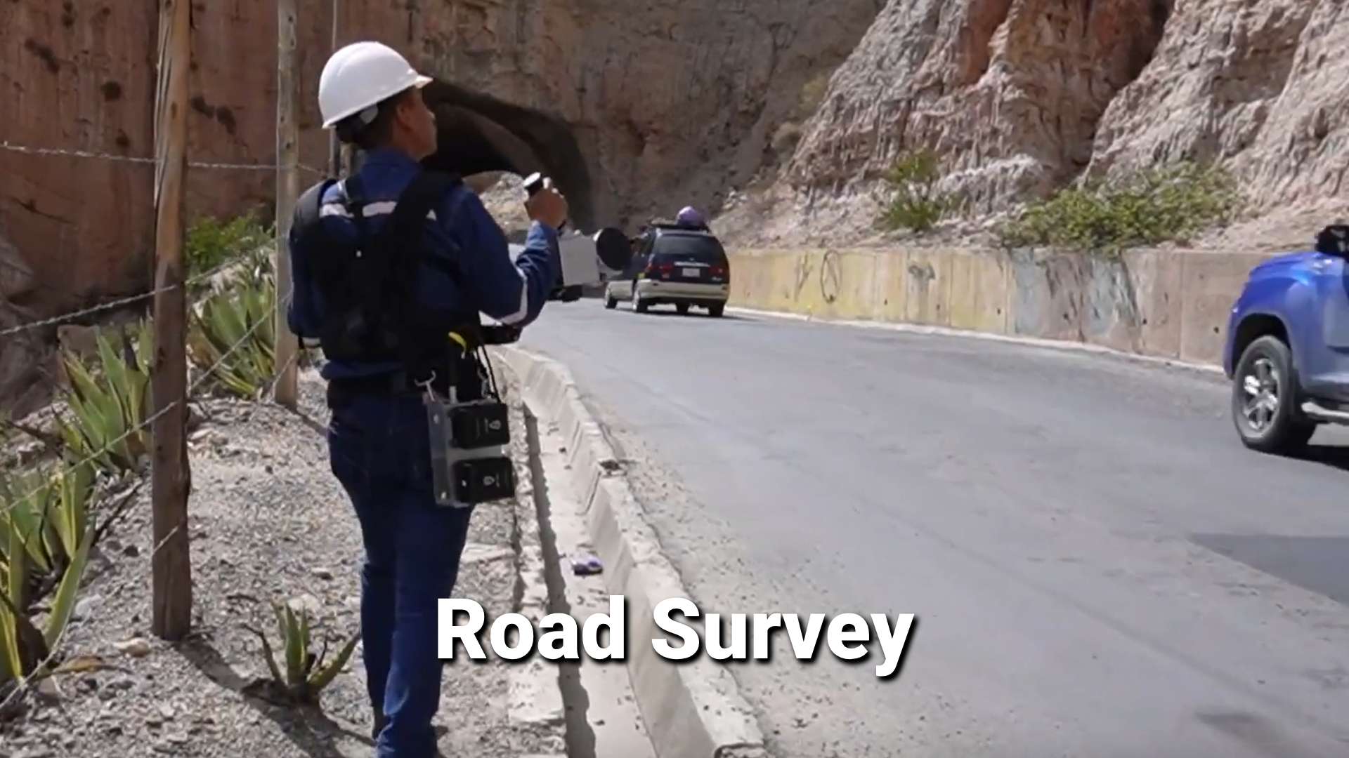
- Surving and Mapping
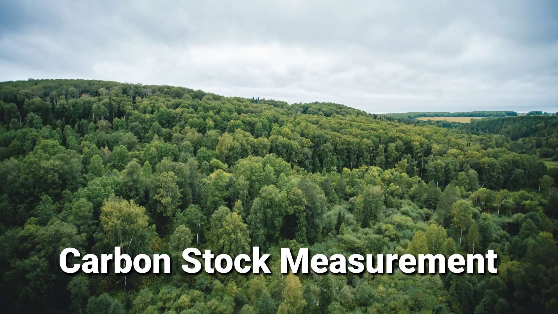
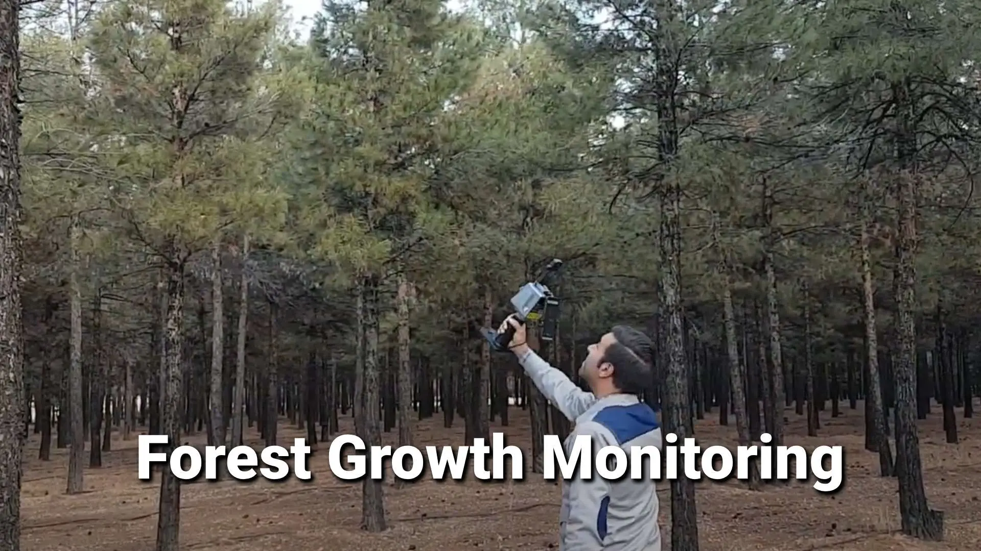
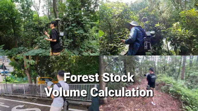
- Forestry Management
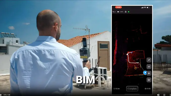
- AEC
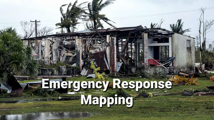
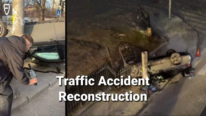
- Public Safety
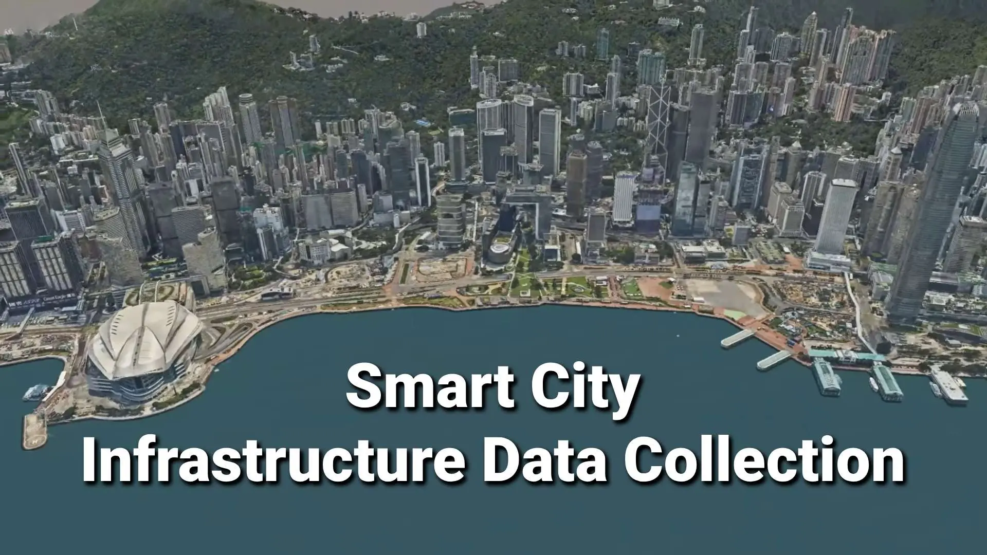
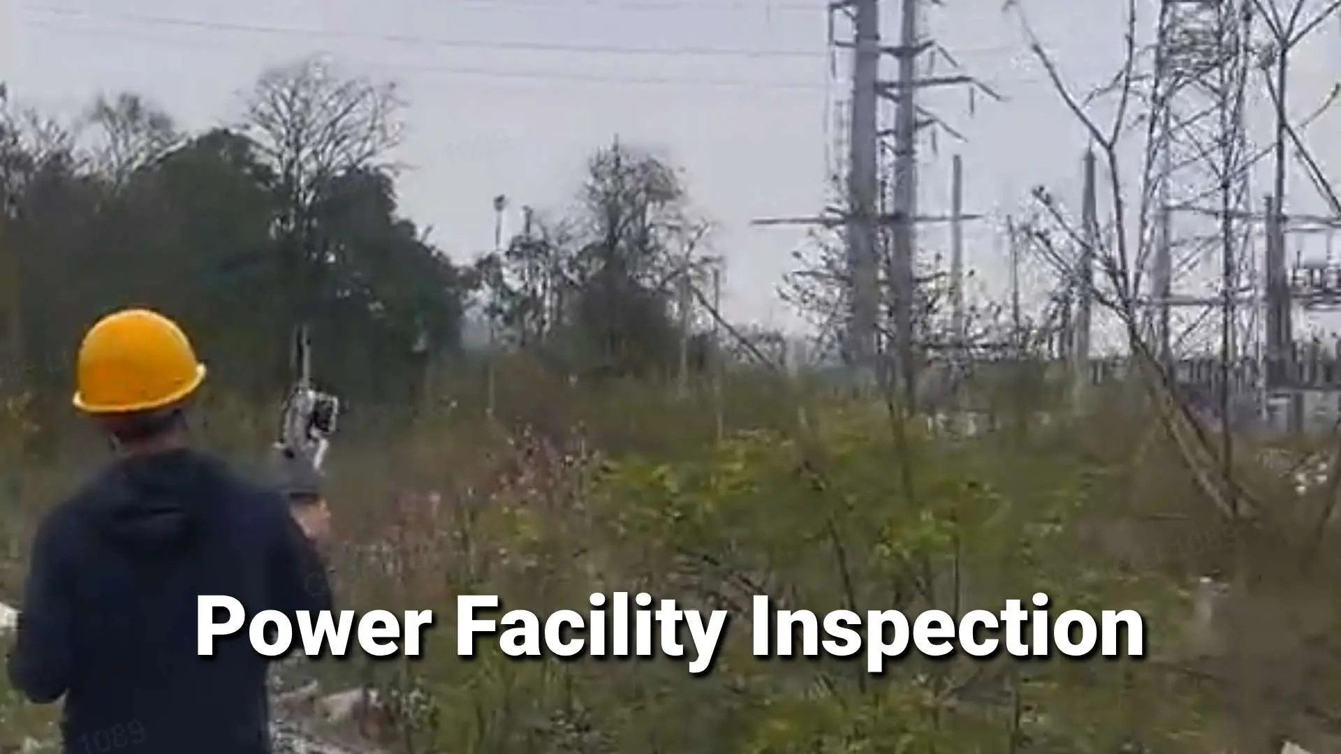
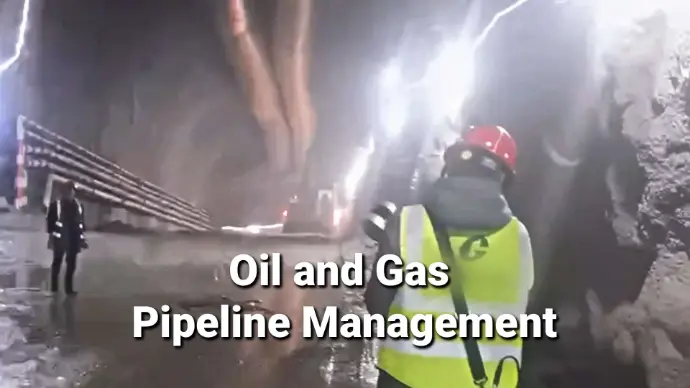
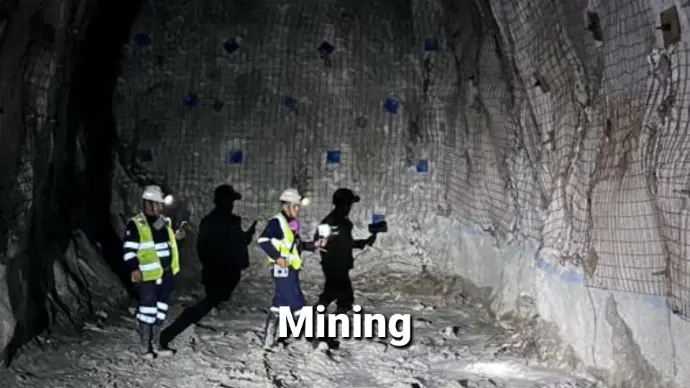
- Infrastructure & Mining
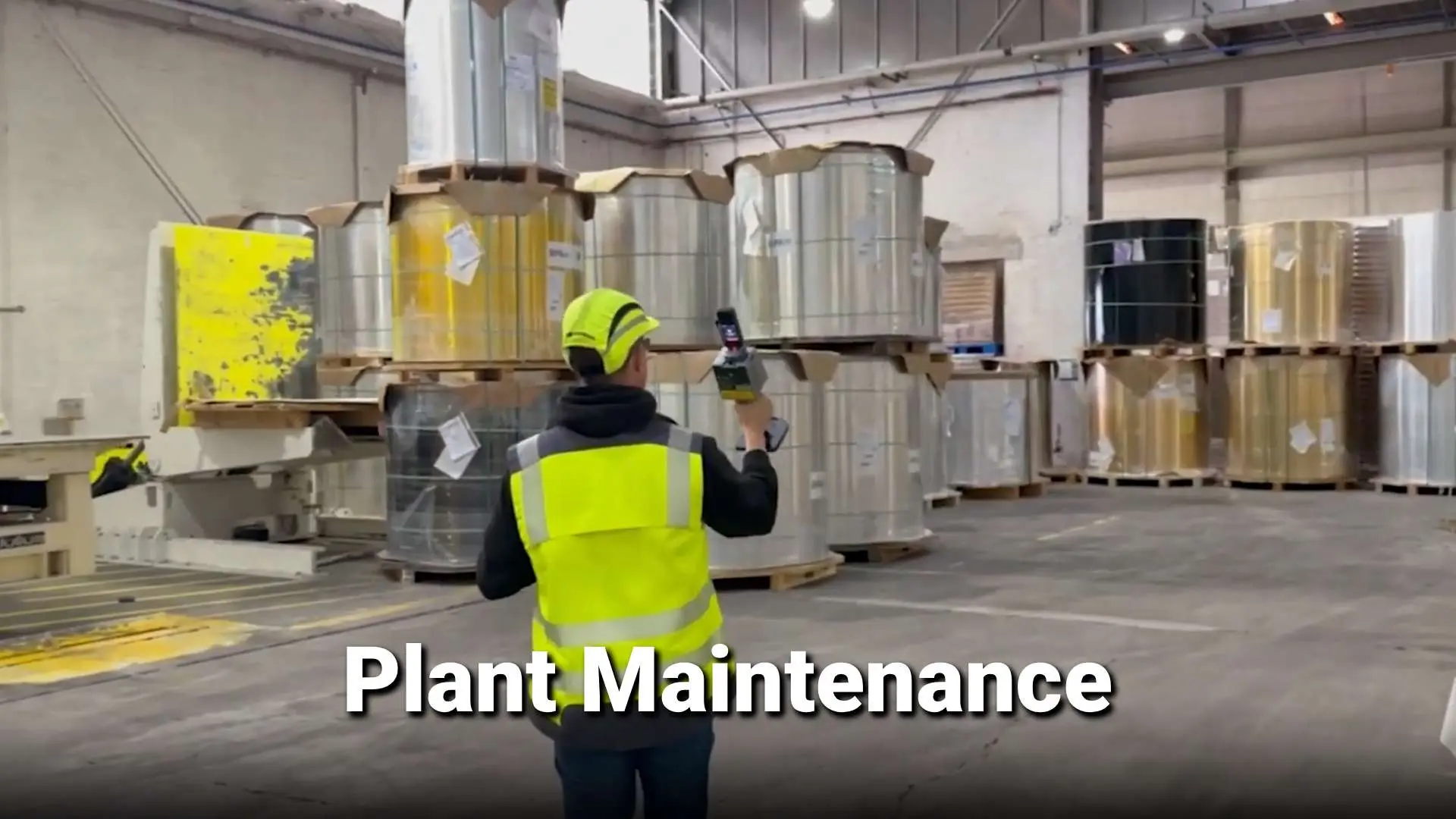
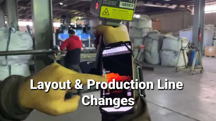
- Manufacturing
- Heritage Protection


News
Your Dynamic Snippet will be displayed here... This message is displayed because you did not provided both a filter and a template to use.
Contact Us