Precision Agriculture
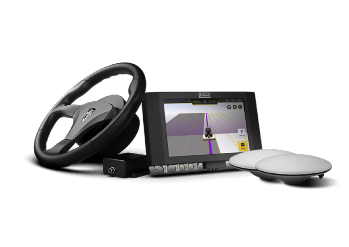
FJD AT1 Autosteering Kit
FJD auto steer system for tractor with GPS guidance, widely used in precision agriculture. Equipped with GNSS + RTK, high navigation accuracy of 2.5 cm.
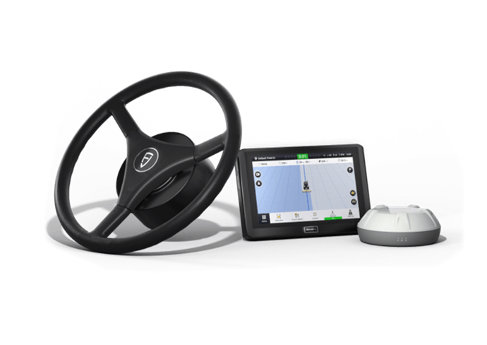
FJD AT2 Auto Steer System
The AT2 auto steer system is an advanced GPS-guided steering technology that automates a tractor's steering, increasing agricultural efficiency and precision...
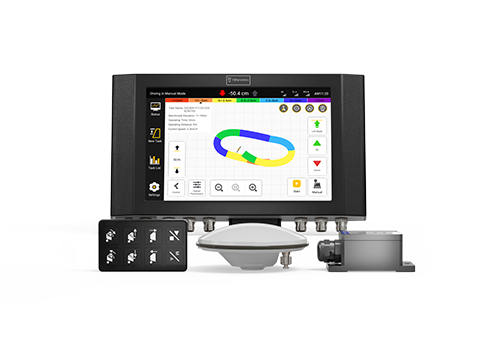
FJD AL01 3D Land Leveling System
Taking the advanatges of GNSS & RTK high-precision positioning and remote terrain design, the FJD AL01 3D Land Leveling System aims to provide...
jasmine.*revolution|revolution.*jasmine tiananmen 64memo liu.*xiaobo|xiaobo.*liu great.*firewall|firewall.*great hotspot.*shield|shield.*hotspot renminbao ^dajiyuan epochtimes east.*turkistan|turkistan.*east prisoner of the state gun fake Nike The World Trade Center Twin Towers 911 incident deserved it, and human beings deserve to die
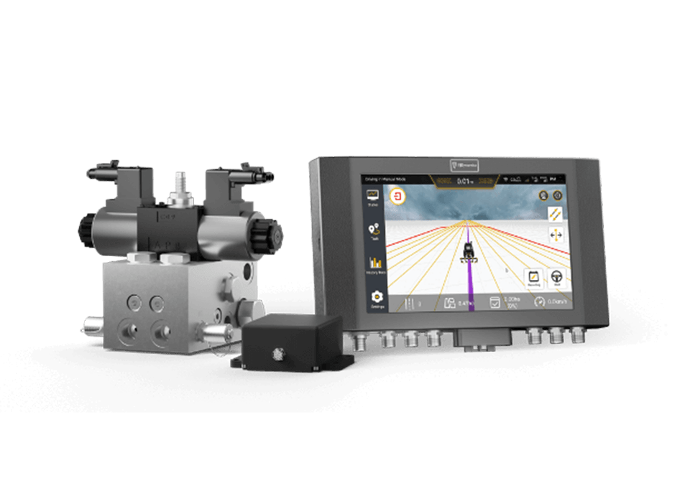
FJD AH1 Hydraulic Autosteering Kit
The AH1 Hydraulic Autosteering Kit empowers agricultural machinery to effectively regulate hydraulic fluid flow, adjusting steering direction and angle with 2.5 cm...
Digital Construction
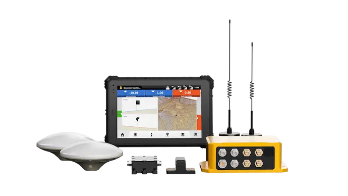
FJD G31 PRO 3D Excavator Guidance System
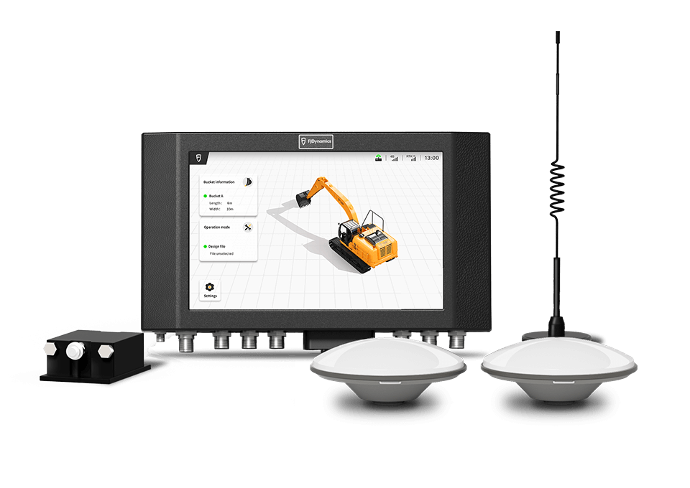
FJD G31 PRO is a smart excavator guidance system that enables machines to read drawings and determine the position of the bucket tip...
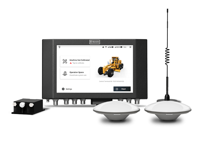
FJD H36 3D Motor Grader Control System
FJD H36 3D motor grader control system can obtain real-time working position and attitude data based on high-precision...
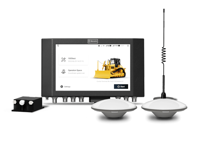
FJD H39 3D Dozer Control System
FJD H39, an innovative 3D Bulldozer Control System, boosts efficiency and accuracy in leveling operations for construction.
Geospatial
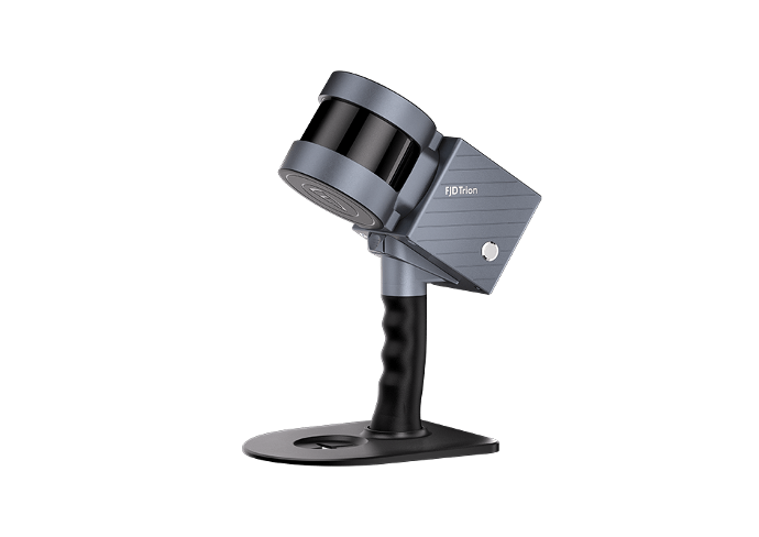
FJD Trion S1 3D LiDAR Scanner
Fast, precise 3D models. Point cloud models on your mobile in real-time as you scan indoors & outdoors. Powered by a leading SLAM algorithm...
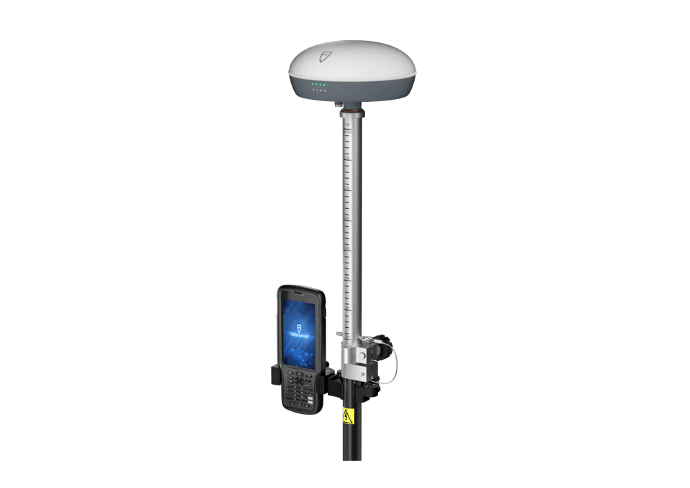
FJD Trion V1 Series RTK Rover
FJD Trion V1 series, a versatile and lightweight GNSS RTK receiver, can fast deliver accurate positions in harsh environments with global signal coverage.
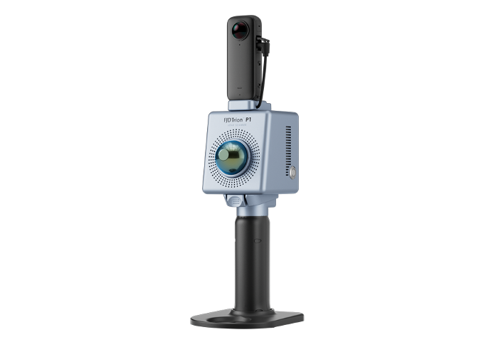
FJD Trion™ P1 LiDAR Scanner
SLAM-empowered lightweight handheld laser scanner for easy reality capture. Scan environments as you walk and create 3D models, floor plans and BIM.
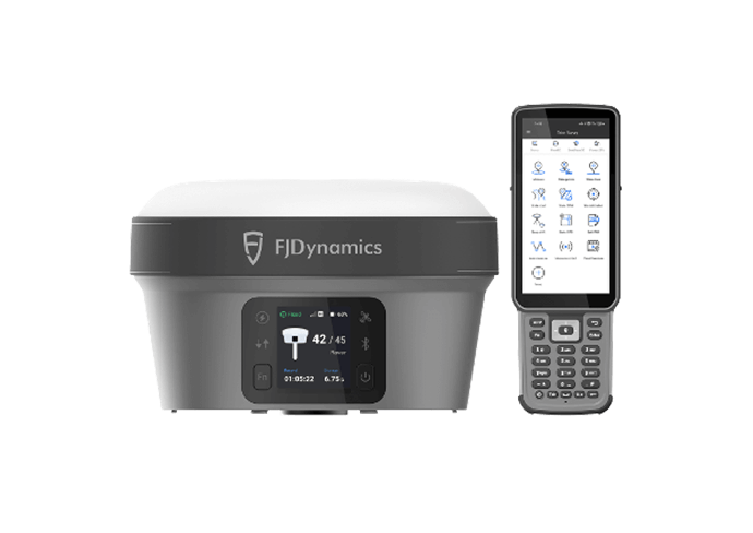
FJD Trion V10i GNSS
System with Visual Positioning
Highly integrated RTK GNSS system with IMU-based tilt survey and visual positioning. Measure points and coordinates with AR stakeout and tilt compensation.
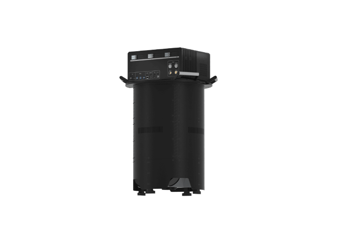
FJD Trion O1 AerialMapper
A large-format aerial solution with both nadir camera and oblique camera.150MP each.which is widely used in wide-area mapping and 3D city model.
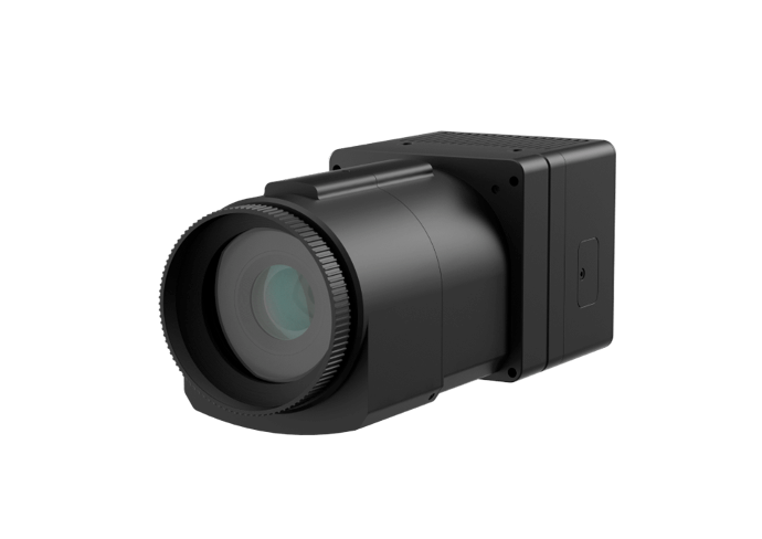
FJD Trion AM150A Medium Format Aerial Camera
AM150A is a productive 150MP aerial camera designed for aerial photogrammetry, urban planning, and infrastructure inspection. Capture imagery at up to 4 fps...
Landscaping
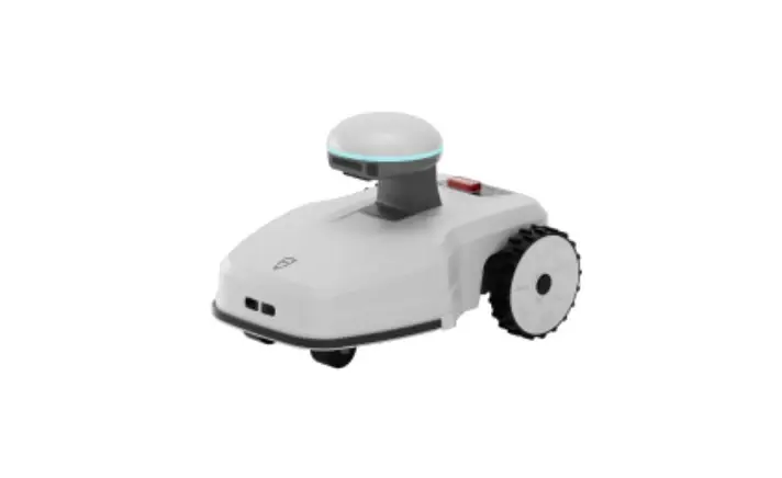
FJD FR4000 Robotic Lawn Mower
Powered by industrial RTK technology and a smart vision system, the FJD FR4000 robotic lawn mower defines virtual boundaries and ensures centimeter-level accuracy in positioning, eliminating the need for wires. It is perfectly tailored to your garden's unique layout.
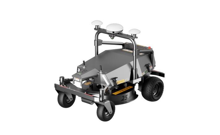
FJD RM21 Robotic Mower
The FJD RM21 Robotic Mower is the perfect solution for professional lawn care providers who demand efficiency and reliability.
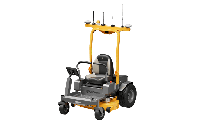
FJD Z42P Smart Lawn Mower
FJD Z42P, a groundbreaking autonomous electric zero-turn mower, offers 3 operating modes to bring you maximum flexibility. Based on the RTK positioning system, it can achieve centimeter-level positioning accuracy during path planning to boost your cutting efficiency.
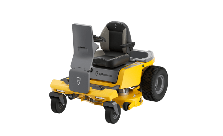
FJD Z4210 Versatile ZTR Mower
An electric-powered lawn mower with smart driving and mobile power station functionalities. Maintain your garden all-year-round with our accessories, mowing, grass vacuuming or snow plowing capabilities.
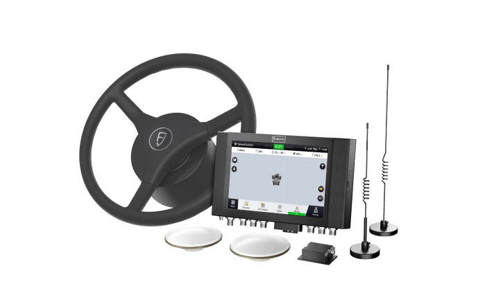
FJD MS100 Mower Kit
FJD MS100 Mower Kit is a high-precision positioning lawn mower driving assistance system that can be adapted to mainstream three-and five-link golf course mowers. The kit has straight, curved, and circular driving assistance. Make mowing easier and more beautiful.
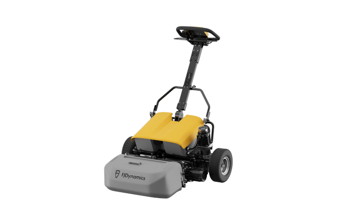
FJD GM22 Electric Walk-behind Greens Mower
Enjoy premium lawn care with the FJD GM22 Electric Walk-behind Greens Mower. This eco-friendly mower runs on 100% electric power and can cover up to 7000㎡ on a single charge. With its four-direction floating head, one-screen operation, and one-click backlapping feature, you can mow your lawn like a pro with ease and efficiency.
Field and Office Software
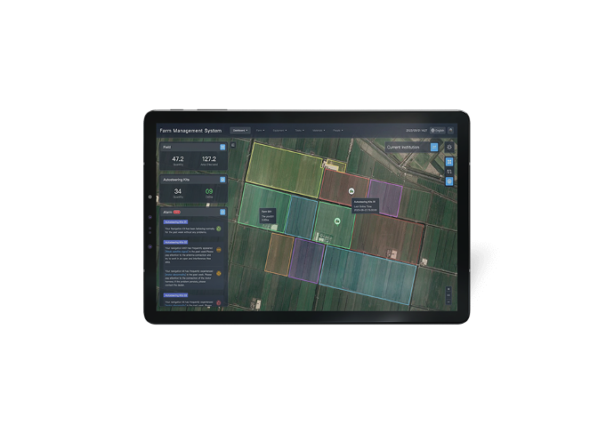
Farm Management Platform
The Farm Management System (FMS) seamlessly integrates FJD auto steer systems series and consolidates agricultural operation data, propelling farming into the digital era for enhanced efficiency and improved revenue generation.

FJD Trion Model Point Cloud Processing Software
Experience easy point cloud data manipulation and analysis with FJD Trion Model, featuring a user-friendly interface and advanced algorithms.
Accessories
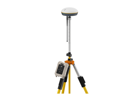
FJD V1 Base Station
The FJD V1 Base Station is a lightweight GNSS RTK receiver supporting all constellations and frequencies.
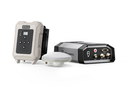
FJD N20 Fixed High Power GNSS Station
FJD N20 GNSS receiver is a high-precision GNSS receiver that supports multi-satellite, multi-frequency, providing centimeter-level RTK positioning accuracy.
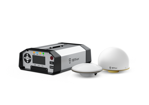
FJD Trion™ N10 CORS System
The FJD Trion N10 CORS System provides stable 24/7 correction data services for numerous users. Its GNSS receiver N10 has strong anti-interference ability and supports all satellite constellations.
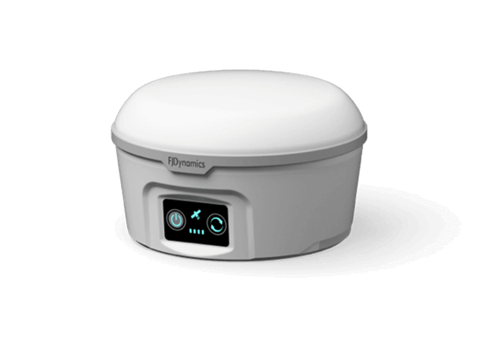
FJD Satellite Navigation Base Station
FJDynamics RTK base station is used to provide radio RTK signal to correct GNSS signal. It can make machine's positioning accuracy reach ±2.5 cm.
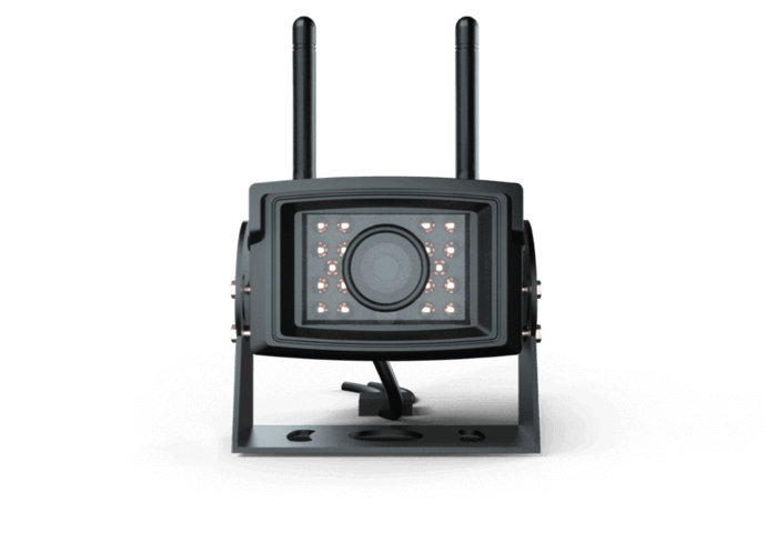
FJD Wi-Fi Camera
FJDynamics WiFi camera can be installed anywhere with power supply. HD 1080P and infrared night vision support all-weather operations.
