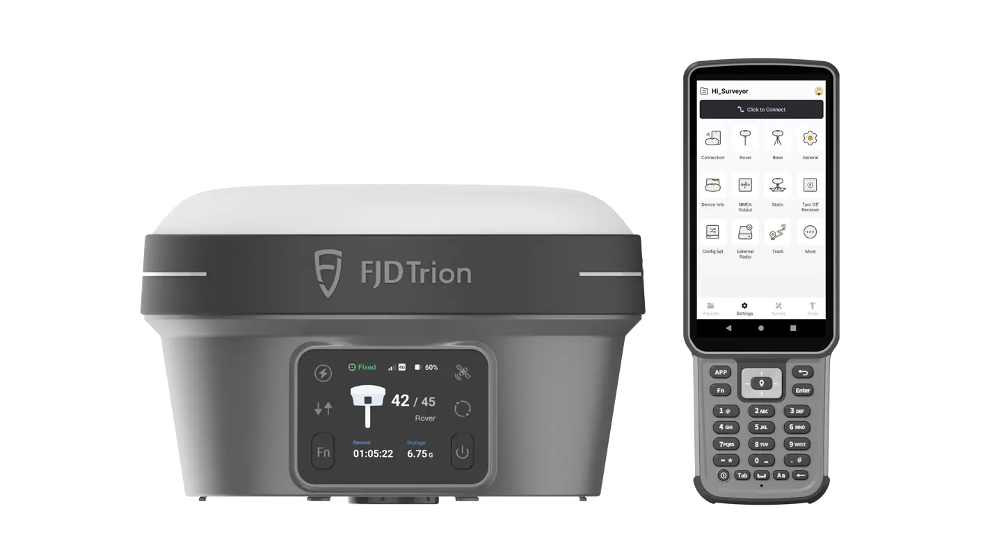
FJD TRION™ V10i
RTK SYSTEM WITH VISUAL POSITIONING

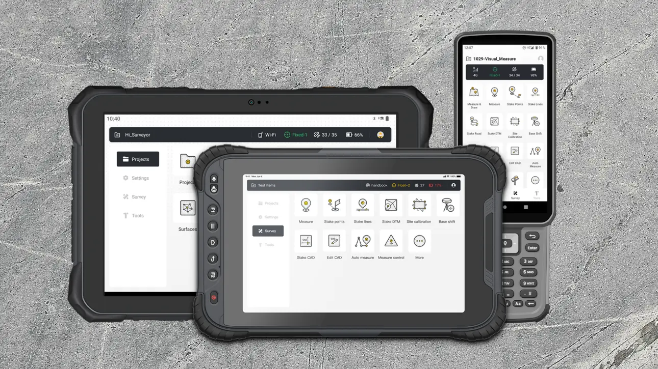
Visual Measure and AR Stakeout

Calibration-free

V: 15 mm + 1 ppm RMS


NFC, WiFi, Bluetooth

Full Constellations
Capture More, Worry Less
Grab the V10i and get measuring. Integrating an OLED screen, IMU, and two cameras, the V10i gives us a next-level productivity boost. The AR Stakeout gives you real-time visual guidance on stakeouts. The Visual Measure achieves the measurement of hard-to-access locations. An OLED screen will bring a new interactive experience for Surveyors.
Clear Vision, Precise Measurements
With a 2MP front camera and a 5MP bottom camera, V10i will bring a clear picture texture to the surveyors. A powerful 4-core processor and a multi-engine algorithm ensure the V10i gets a smooth image in the AR Stakeout function. And in the image measurement function, you only need to click on the photo to obtain centimeter-level precision coordinates.

Safer and More Efficient
AR Stakeout
The AR Stakeout feature turns the traditional stakeout on its head. Two HD cameras provide a clear video view in real-time during stakeout. The location of the point is shown directly in the video. Real-time directional guidance will allow us to find the stakeout points quickly.
Visual Measure
The Visual Measure function of the V10i enables it to be utilized for measurements in areas that are difficult to access. After capturing at least 5 high-definition photos, the coordinates can be easily obtained in the photos using a multi-engine algorithm, which is very practical in many dangerous situations.
Tilt Compensation
The V10i supports the Tilt Survey of 60 degrees. We don't need to hold the survey pole upright when measured, which improves the efficiency of the measurement. When we meet some positions where we can't hold the pole upright, the Tilt Survey function will help you solve it easily.
Intelligent interaction with ultimate experience
The OLED screen displays the real-time working status of V10i. The highlight screen ensures we can read under the strong sunlight. We can set V10i as a base station and static mode by physical buttons when we don't have controllers. At the same time, the V10i has a noise-canceling microphone, which can accurately and quickly identify sound. The hi-fi speakers can broadcast the working status of the V10i.

Built Tough, Engineered to Perform
The alloy body of the V10i is lightweight and resistant to magnetic interference. The upgraded build enables consistently strong satellite availability even with obstructed sky or less than ideal weather conditions. You can trust the V10i to keep on working even if it's rained on or dropped.
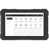
Multiple Controllers for Flexible Selection
The V10i can be used with either a compact keyboard controller or a tablet controller—you can choose the one that best fits your working preferences and needs. Both controllers have powerful processors for smooth performance, responsive touchscreens, and fast speeds to help you work efficiently. The ambient-aware screens automatically adjust brightness, making them easy to see even in direct sunlight
Specs Comparison
|
|
E600 |
UA80 |
D10 |
|
Screen Size
|
5.5 Inch
|
8 Inch
|
10.1 Inch
|
| CPU |
2.0GHz
|
2.2GHz
|
2.0GHz
|
| Storage |
RAM: 4GB, ROM: 64GB
|
RAM: 6GB, ROM: 128GB
|
RAM: 6GB, ROM: 128GB
|
|
Battery Capacity
|
7700mAh
|
8200mAh
|
9000mAh
|


